I haven't finished pulling the data together for this image.
The more folks are psyched about a place, the quicker I'll get to it! Send me your email to be notified when the map is ready.
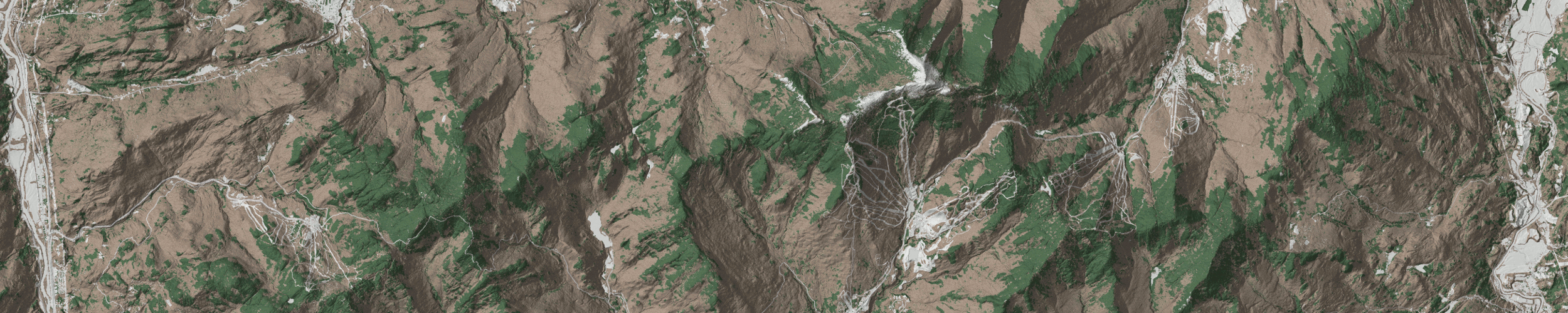
These maps were derived from public data provided by the Vermont Center for Geograhic Information.
I used 0.7-meter resolution DEM data to generate hillshade, 0.7-meter resolution DSM data to give the map some of the texture of the trees, and 0.5-meter resolution tree canopy classification to color the landscape for coniferous or deciduous. The state's E-911 data was used for roads and trails.
All styling done in QGIS on my underpowered laptop.