
To download at full resolution (47.8MB) click here.
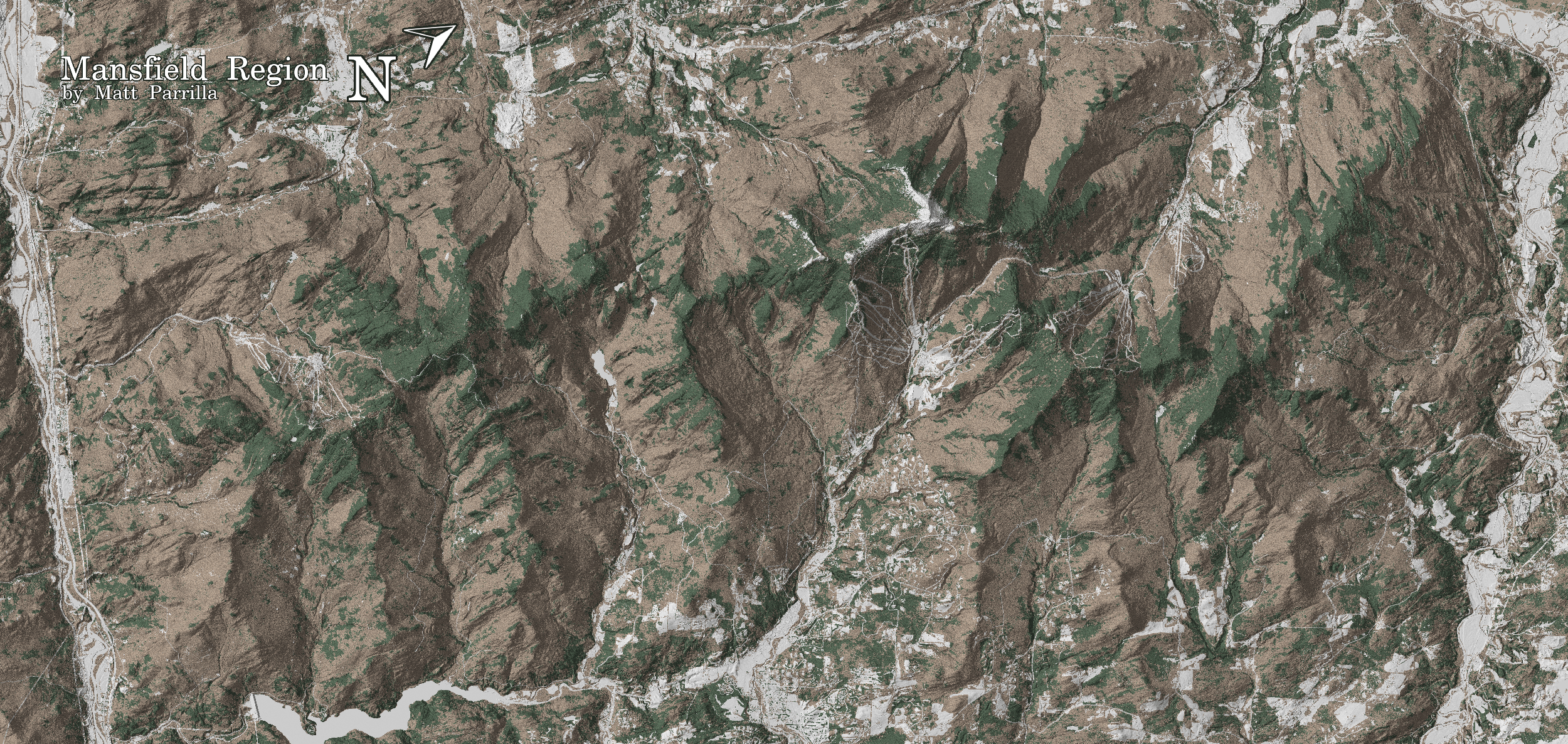
This section of the Green Mountains is home to the highest mountain in Vermont, Mount Mansfield. It is also my home range, with the western edge only 30 minutes from where I live in Burlington, Vermont.
Within are three ski resorts and numerous backcountry zones both well known and little explored. Mount Mansfield is home to the largest alpine zone in the state and many of the peaks and drainages in the area offer some of the best tree skiing around.
If there's enough interest I'll print a run of maps. Send me your email to let me know that you're interested and to be notified when print maps become available.
These maps were derived from public data provided by the Vermont Center for Geograhic Information.
I used 0.7-meter resolution DEM data to generate hillshade, 0.7-meter resolution DSM data to give the map some of the texture of the trees, and 0.5-meter resolution tree canopy classification to color the landscape for coniferous or deciduous. The state's E-911 data was used for roads and trails.
All styling done in QGIS on my underpowered laptop.